Concurrent Shipboard & Glider Surveys
Traditional large-scale surveys of marine mammals are conducted by visual observation from large research vessels. While these surveys collect extremely high-quality data that can be readily analyzed to assess marine mammal populations, they do have their limitations. These methods are complicated for deep-diving species that spend little time at the surface (beaked whales, sperm whales), and they are limited by weather conditions (including fog, rain, and high seas). These surveys are conducted ~ every 5 years during good weather seasons, and so are limited in their ability to assess seasonal and inter-annual variability.
Can PAM-equipped gliders augment existing shipboard surveys to improve our understanding of deep-diving species or to improve our understanding of temporal variability in marine mammal populations?
To address this question, we need to collect data using traditional methods (shipboard visual surveys) and new methods (PAM-gliders) in the same region and at the same time. Data collected during these concurrent surveys are needed to develop and test statistical methods needed to use PAM-glider data to assess marine mammal populations.
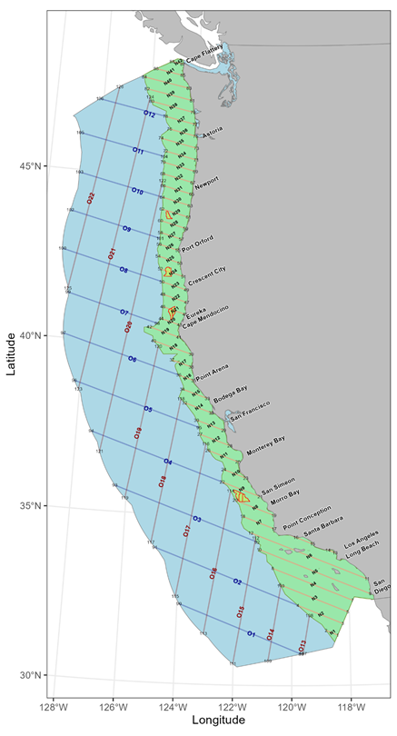
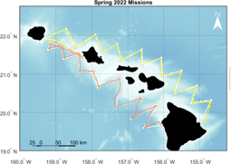
We will conduct concurrent shipboard/glider surveys off the U.S. West Coast (CalCurCEAS) and Hawaiʻi (WHICEAS).
Data from these surveys will be used for developing Spatial Modeling.
CalCurCEAS 2024
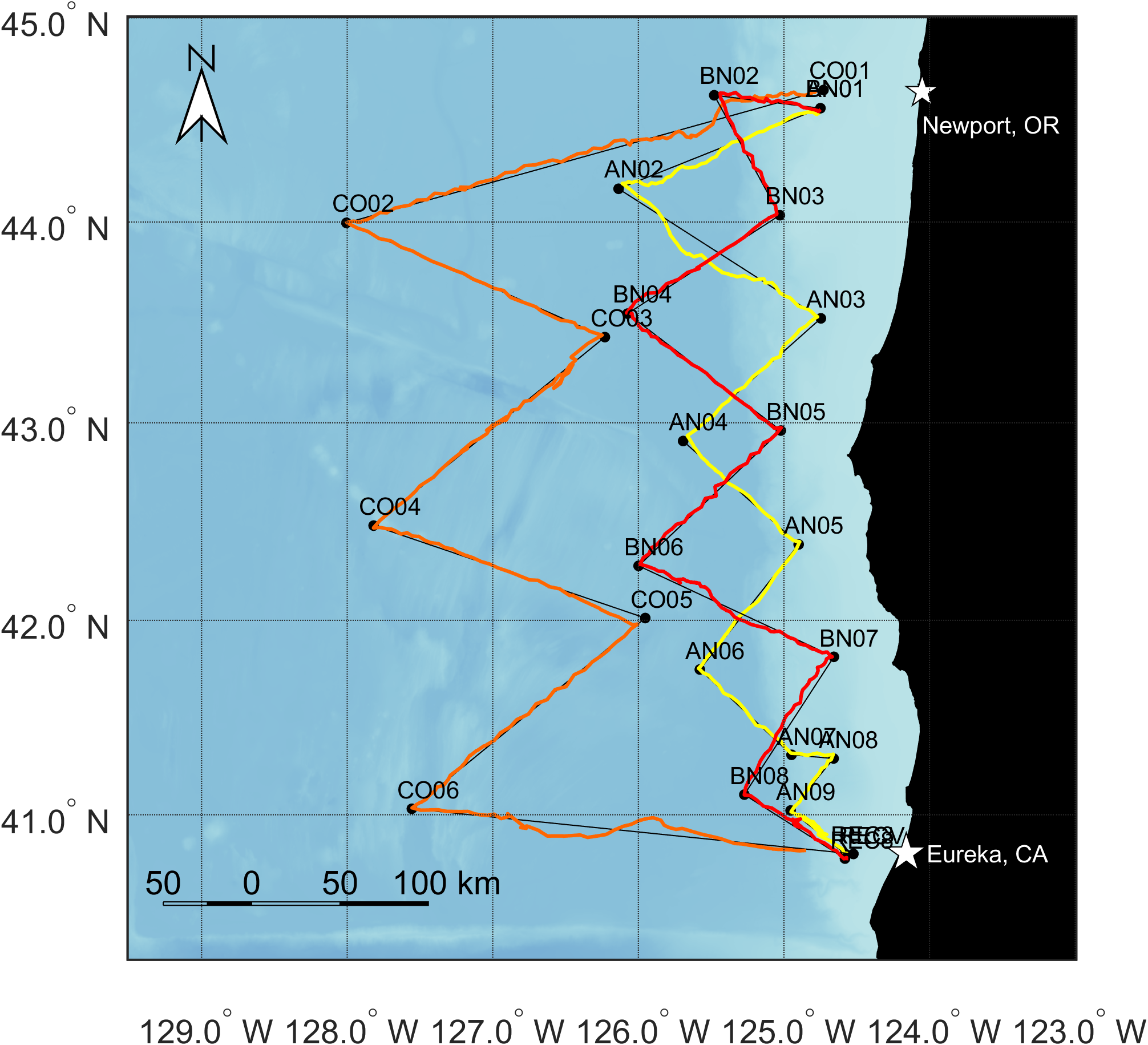
Three PAM-equipped Seagliders were deployed out of Newport Oregon and surveyed in a zig-zag pattern south towards Eureka, California:
SG679: Offshore Tracks (orange trackline)
- 63 days (8/23/2024 - 10/25/2024)
- Four transects, 297 dives
- Surveyed 1459 km trackline
- 180 kHz sampling, 2.5 Tb data
- 94% total mission has recordings
SG639: Inshore Tracks (yellow); SG80 (red)
- 41 days (9/14/2024 - 10/25/2024)
- SG639: 6 transects 217 dives, 789 km; bonus transect to Trinidad Canyon
- SG80: 8 transects, 232 dives, 806 km
- 200 kHz sampling, 1.8 Tb data
- 95% total mission has recordings

The PAM-equipped Seagliders were deployed by collaborator Dave Mellinger from Oregon State University with co-piloting by our PIFSC colleagues: Selene Fregosi, Erik Norris, and Calla Lloyd-Lim. The offshore glider was the longest mission of any of the OSU gliders to date! This was also the first time this experienced glider team piloted three gliders simultaneously.

These PAM-glider tracks overlap in both time and space with the CalCurCEAS shipboard visual observation survey. In addition to visual observations, drifting acoustic recorders were deployed offshore to study beaked whales. This provides an opportunity to compare detection of species offshore Oregon by three different platforms: shipboard visual observation, drifting acoustic recorders, and PAM-equipped gliders. These data will be used to develop the analytical framework for integrating data from slow-moving recording platforms (such as gliders and drifting recorders) into spatial density models for marine mammals (see Spatial Modeling).
WHICEAS 2026
Winter Hawaiian Cetacean Ecosystem Assessment Survey (WHICEAS) is currently scheduled for February/March 2026. We will update as these plans develop.

